Death Valley is a desert valley located in Eastern California's Mojave Desert, the lowest, driest, and hottest area in North America.
Death Valley's Badwater Basin is the point of the lowest elevation in North America at 282 feet (86 m) below sea level. This point is 84.6 miles (136.2 km) east-southeast of Mount Whitney, the highest point in the contiguous United States with an elevation of 14,505 feet (4,421 m). Death Valley's Furnace Creek holds the record for the highest reliably reported air temperature in the world, 134 °F (56.7 °C) on July 10, 1913.
Located near the border of California and Nevada, in the Great Basin, east of the Sierra Nevada mountains, Death Valley constitutes much of Death Valley National Park and is the principal feature of the Mojave and Colorado Deserts Biosphere Reserve. It is located mostly in Inyo County, California. It runs from north to south between the Amargosa Range on the east and the Panamint Range on the west; the Sylvania Mountains and the Owlshead Mountains form its northern and southern boundaries, respectively. It has an area of about 3,000 sq mi (7,800 km2). The highest point in Death Valley itself is Telescope Peak in the Panamint Range, which has an elevation of 11,043 feet (3,366 m).
Our route through Death Valley from Las Vegas to Lone Pine took us on Route 160 through the town of Pahrump after which we turned west on Bell Vista Road and eventually over the state line between Arizona and California. Crossing the intersection with Route 127 we then headed on California 190 into Death Valley.
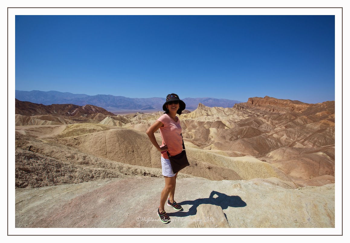
Zabriskie Point is a part of Amargosa Range located east of Death Valley in Death Valley National Park in California, United States noted for its erosional landscape. It is composed of sediments from Furnace Creek Lake, which dried up 5 million years ago—long before Death Valley came into existence.
The location was named after Christian Brevoort Zabriskie, vice-president and general manager of the Pacific Coast Borax Company in the early 20th century. The company's twenty-mule teams were used to transport borax from its mining operations in Death Valley.
Twenty-mule teams were teams of eighteen mules and two horses attached to large wagons that ferried borax out of Death Valley from 1883 to 1889. They traveled from mines across the Mojave Desert to the nearest railroad spur, 165 miles (275 km) away in Mojave. The routes were from the Harmony and Amargosa Borax Works to Daggett, California, and later Mojave, California. After Harmony and Amargosa shut down in 1888, the mule team's route was moved to the mines at Borate, 3 miles east of Calico, back to Daggett. There they worked from 1891 until 1898 when they were replaced by the Borate and Daggett Railroad.
The wagons were among the largest ever pulled by draft animals, designed to carry 10 short tons (9 metric tons) of borax ore at a time.
Heading west on California 190 through the lowest part of the valley where the temperature was reaching 44 deg C we soon reached the small settlement called Furnace Creek. The population of Furnace Creek was 24 at the 2010 census, down from 31 at the 2000 census. The elevation of the village is 190 feet (58 m) below sea level. We stopped here and had lunch in the Badwater Saloon. There is little here other than a General Store, a cafe, a gas station, a few houses and the local rusting fire truck.
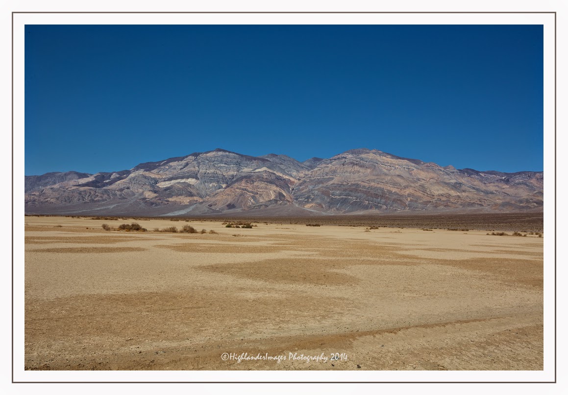
We stopped at Padre Crowley Point, a scenic point providing panoramic views of the northern end of the Panamint valley in Death Valley National Park. This point is named after Father John Crowley, Padre of the desert 1891 - 1940. The plaque at the point reads ….


No comments:
Post a Comment